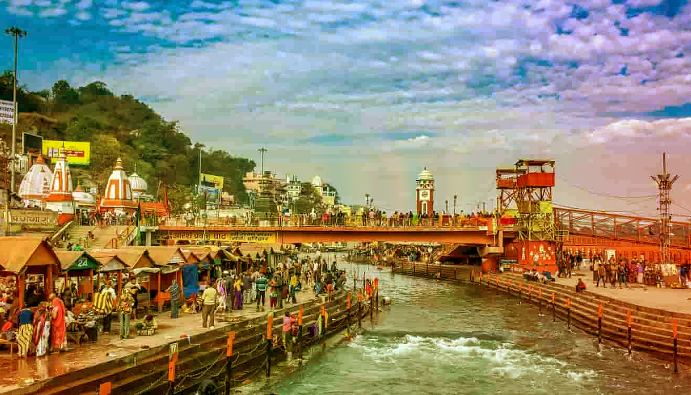
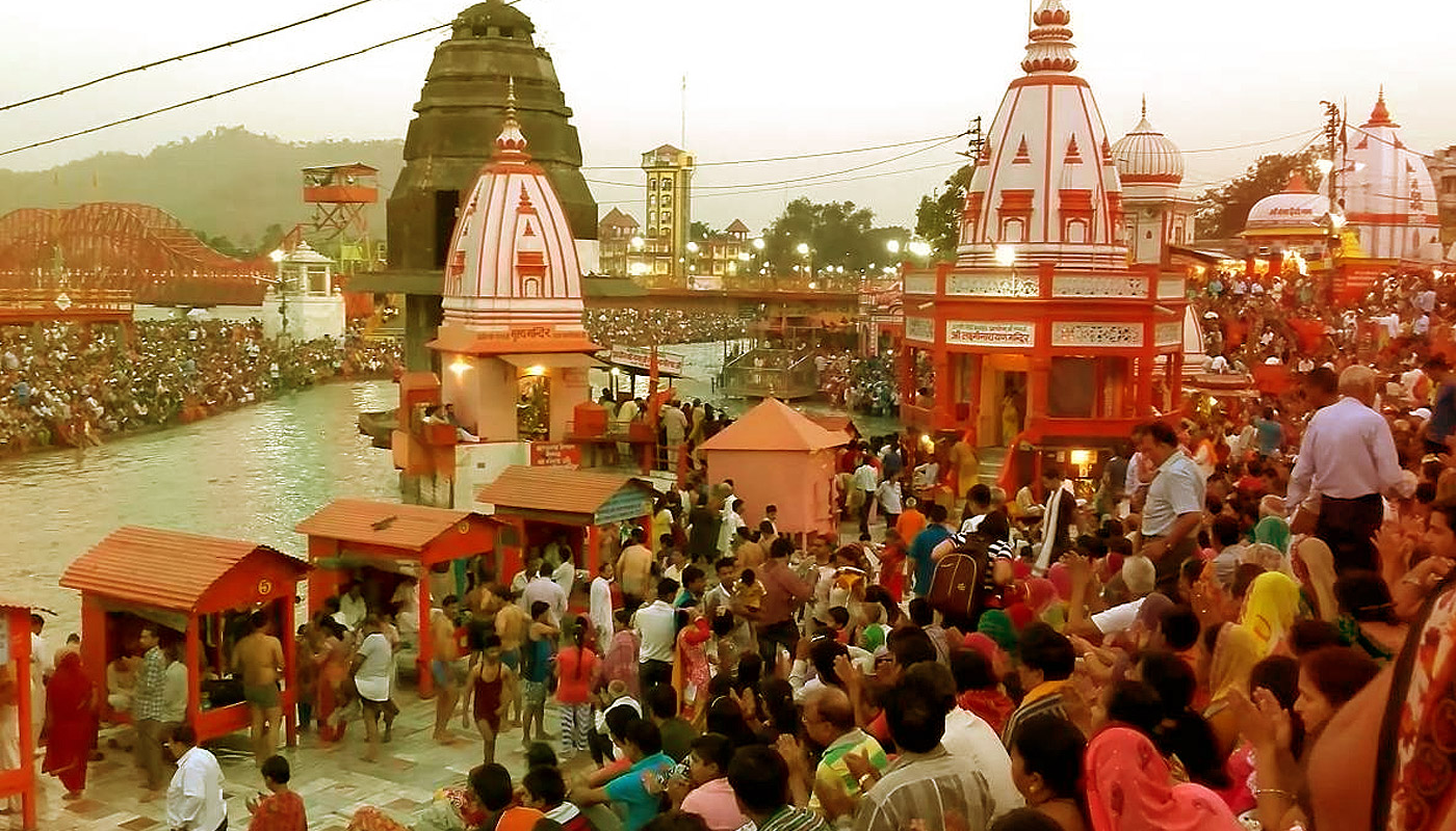
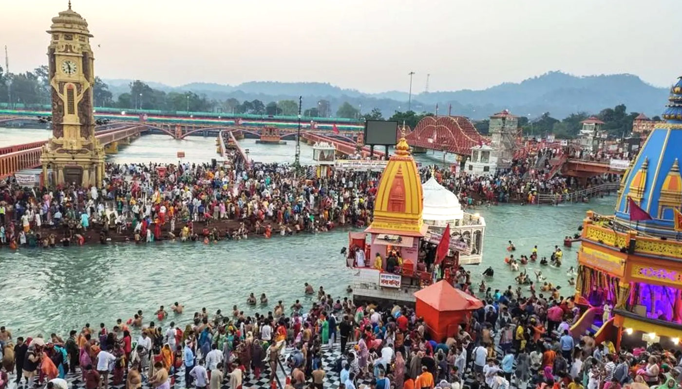
Geographically Haridwar district is perched at an elevation of 249.7 meter or 819 feet above the sea level in the forested state of Uttarakhand. This is the most visited state located in the foothills of the Shivalik Himalayan ranges. Nanda Devi in Chamoli district is the highest point in the Uttarakhand state. The city also known as Gangadawar. It is main site where the river Ganga touches the plain first time. The Haridwar district occupies an area of 2360 sq kilometer. The geographical map of the Haridwar town depicts the city 29.96 degree North latitude and 78.16 degree east longitude. Like the Uttarakhand state, the most area of the Haridwar also occupied by the forests. Rajaji National Park also a great site to experience the wildlife here. There are many entrances to enter the Rajaji national park as Mohand Gate, Motichur Gate, Ranipur Gate, Ramgarh Gate and Chilla Gate. Chilla, Ranipur and Motichur Gate are located at a distance of 9 kilo meter from the most revered city of Haridwar.
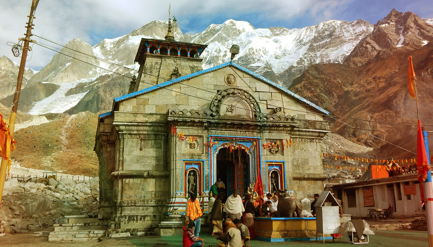
The Uttarakhand state came into existence on November 9th in 2000 century. It is the 27th state of India. It shares its boundaries with China at the northern part and Nepal at the eastern part, Himachal Pradesh locates in the west and Uttar Pradesh in the south as well. As per the Hindu scriptures draws the land described as Uttarakhand, a term observed from Sanskrit which means northern region. Most of the area of the state comes under the rainforests and alpine forests. There is Jim Corbett National Park which is a home for Royal Bengal Tigers; there is also a Valley of Flowers National Park in Alpine region and so popular for its different kinds of flowers. Some another parks like Nanda Devi National Park, Gangotri National Park, Govind National Park and etc.
Due to the fluctuation in altitude the atmosphere of the Uttaranchal varies. There are two climate regions that differ to each other. The predominant hilly terrain and the other one is the small plain region. But the climate condition at these two places is as similar as in the Gangetic plain. The atmosphere in summer's days stay hot while the winter remains chilly if the temperature falls bellow 0 degree Celsius. The lowest temperature as recorded of Mukteshwar is -3.0 degree Celsius and the highest is 43.2 degree Celsius at Pantnagar respectively.
Uttarakhand state lies under the Himalayan region that is why snowfall occurs for a long time during the winter seasons and heavy rainfall in monsoon period. Over all the climate of Uttarakhand stays pleasant through out the year. At Haridwar the average rainfall is 162 cm annually. In the winter seasons the sightseers enjoy the fullest and they use to wear heavy woolen clothes to protect their selves particularly for the children. And the summer seasons makes the pilgrims and tourists to use the light cotton clothes because the summer offers pleasant atmosphere. In Haridwar, three languages are spoken mostly these are Hindi, English and Garwali.
© Copyright Haridwar Travel Agents.com. All Rights Reserved | Website Developed by Wits Digital Pvt. Ltd.
 ">
"> ">
"> ">
"> ">
"> ">
">